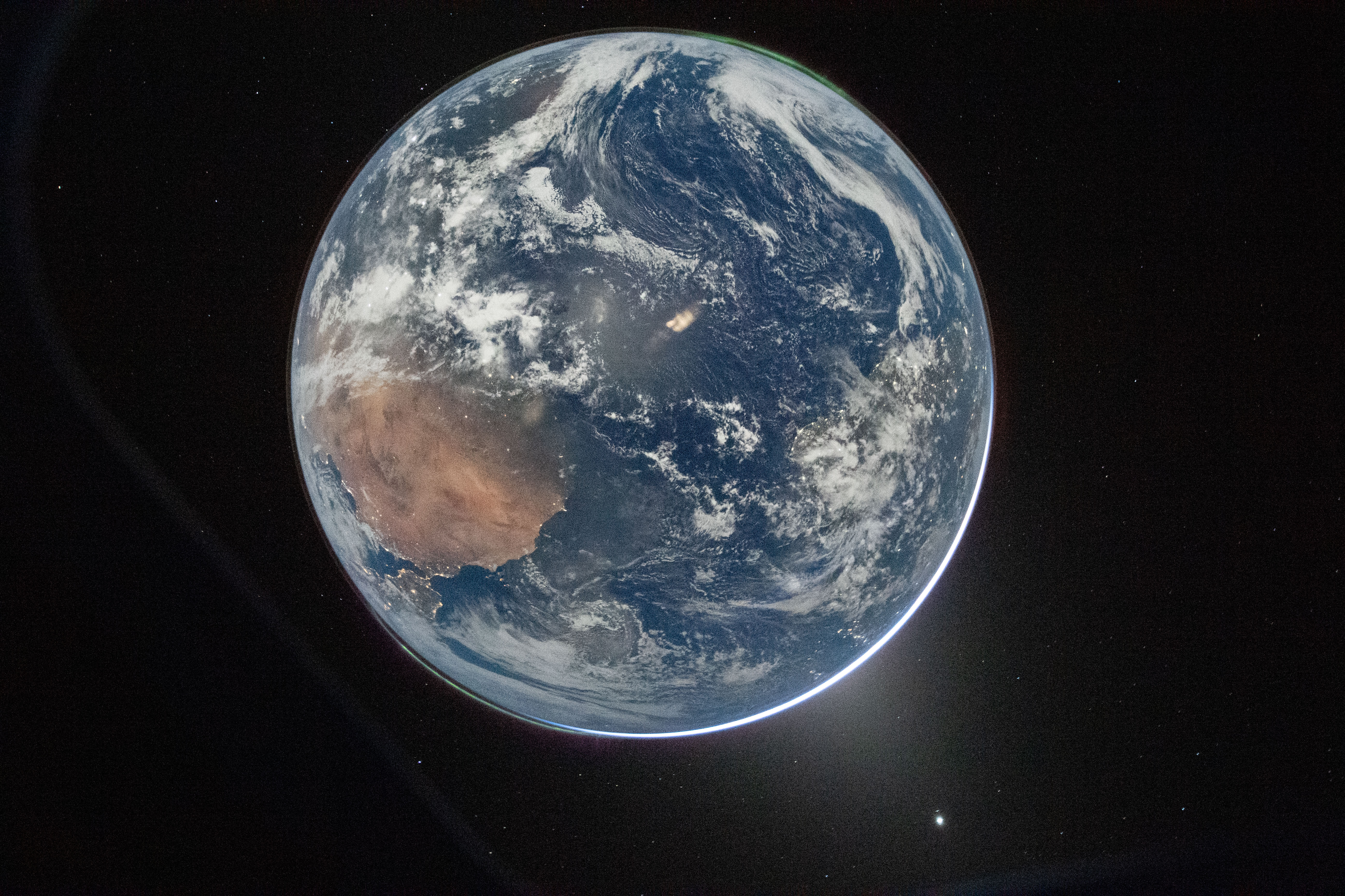
Your comment history suggests you're in the US, so you should be pleased to learn that you weren't included. The visible landmass is northern Africa, with a smidge of the Iberian Peninsula visible.
Oh, good point. I missed South America under the cloud cover. I guess the Eastern edge of the US would indeed be visible as a highly distorted smudge on the edge of the visible surface.
Thank you. I have having trouble making sense of the orientation. My first thought was misshapen Australia, but where Spain nears Africa is much different than Australia and Tasmania. Also, they forgot New Zealand... while common for maps, I would expect it to show up in a photo.